Background
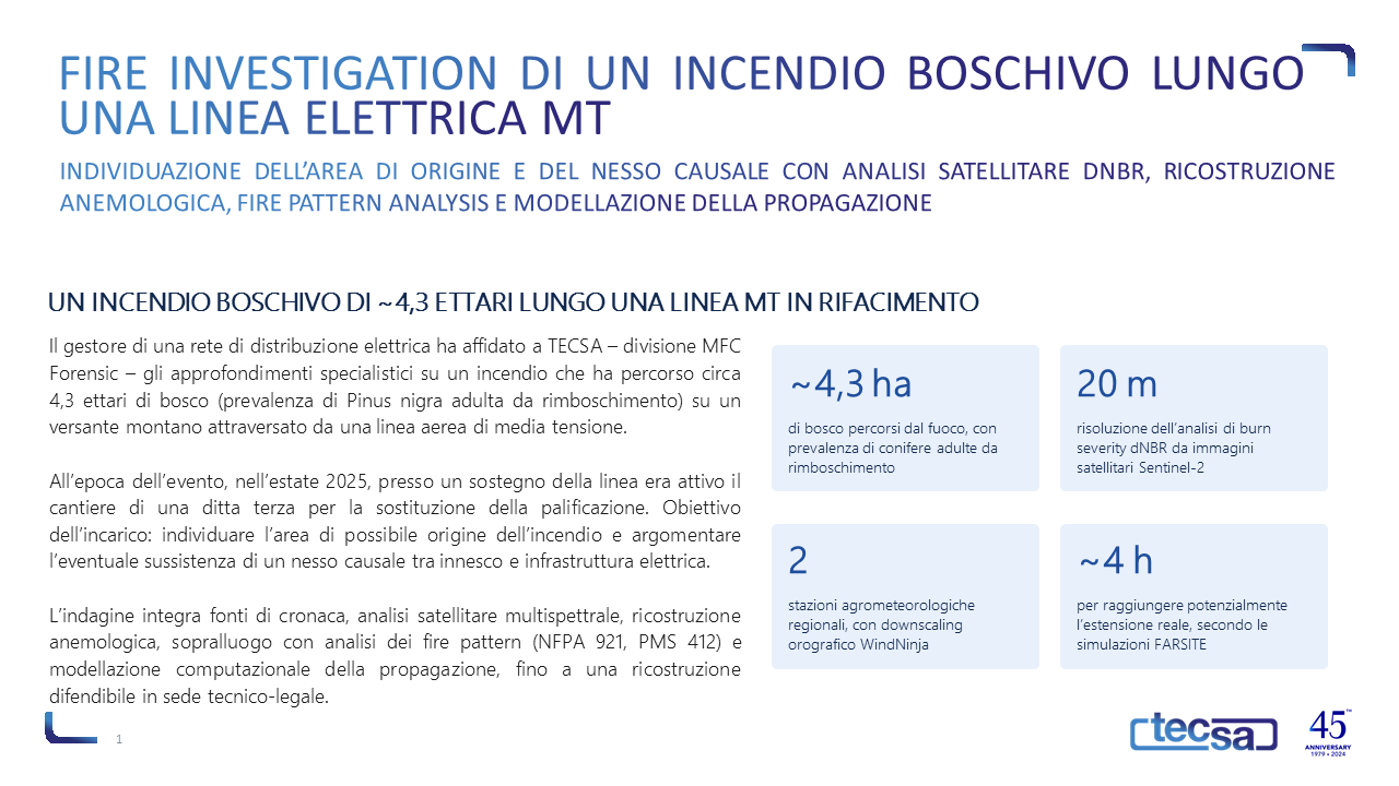
An electricity distribution network operator commissioned TECSA – MFC Forensic division – to carry out a specialist investigation into a forest fire which, in the summer of 2025, spread across approximately 4.3 hectares of woodland (predominantly mature Pinus nigra from reforestation efforts) on a mountainside crossed by an overhead medium-voltage power line. At the time of the incident, a third-party contractor was carrying out work at one of the line’s pylons to replace the piling. The objective of the assignment was to identify the area where the fire may have started and to assess whether there was a causal link between the ignition and the electricity infrastructure.
The approach
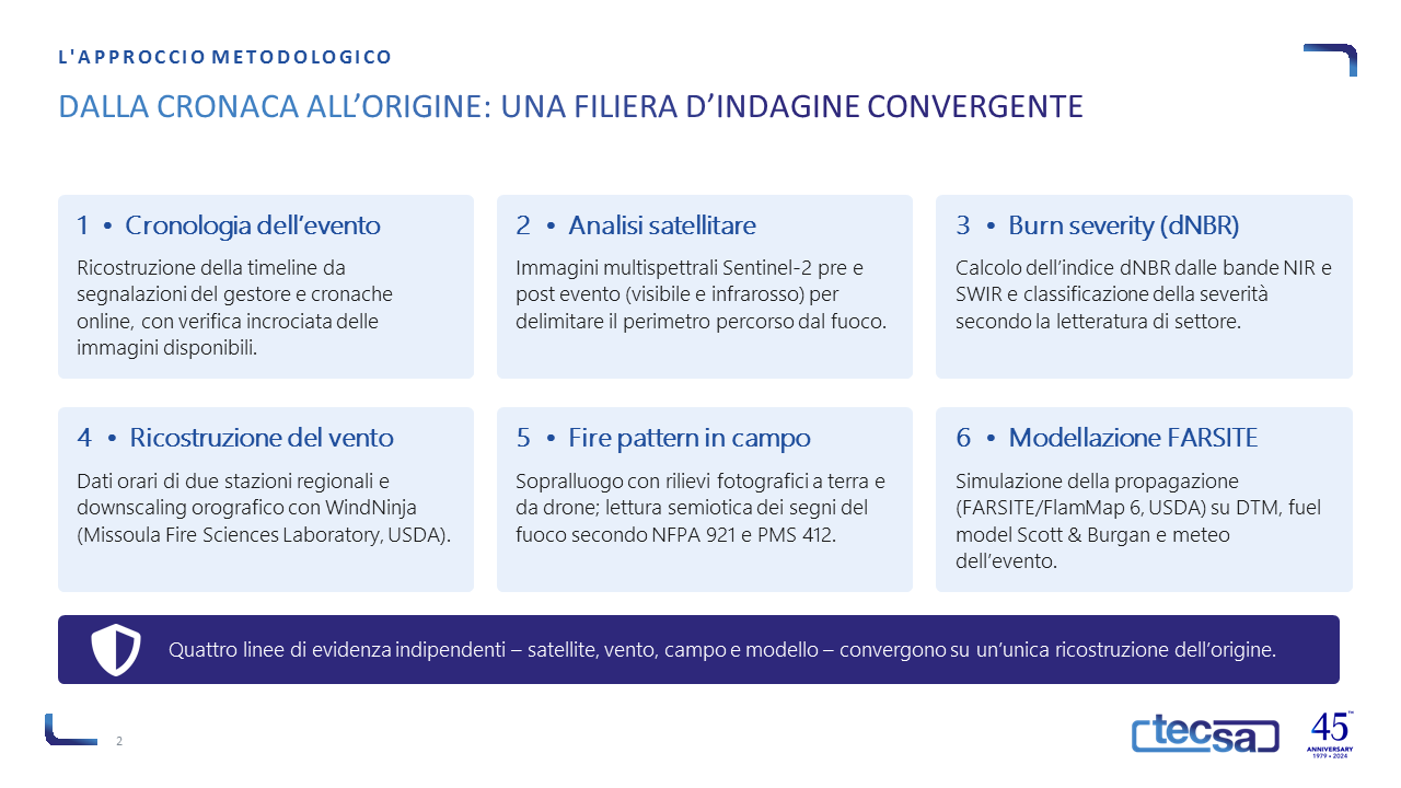
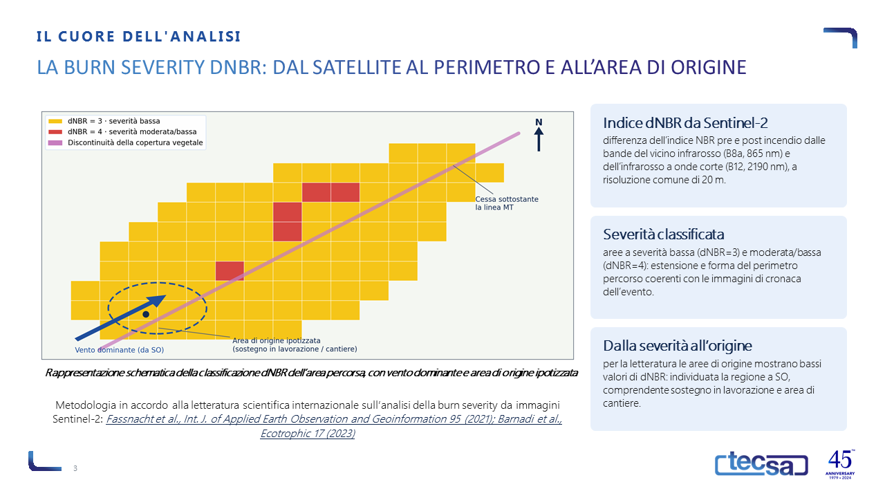
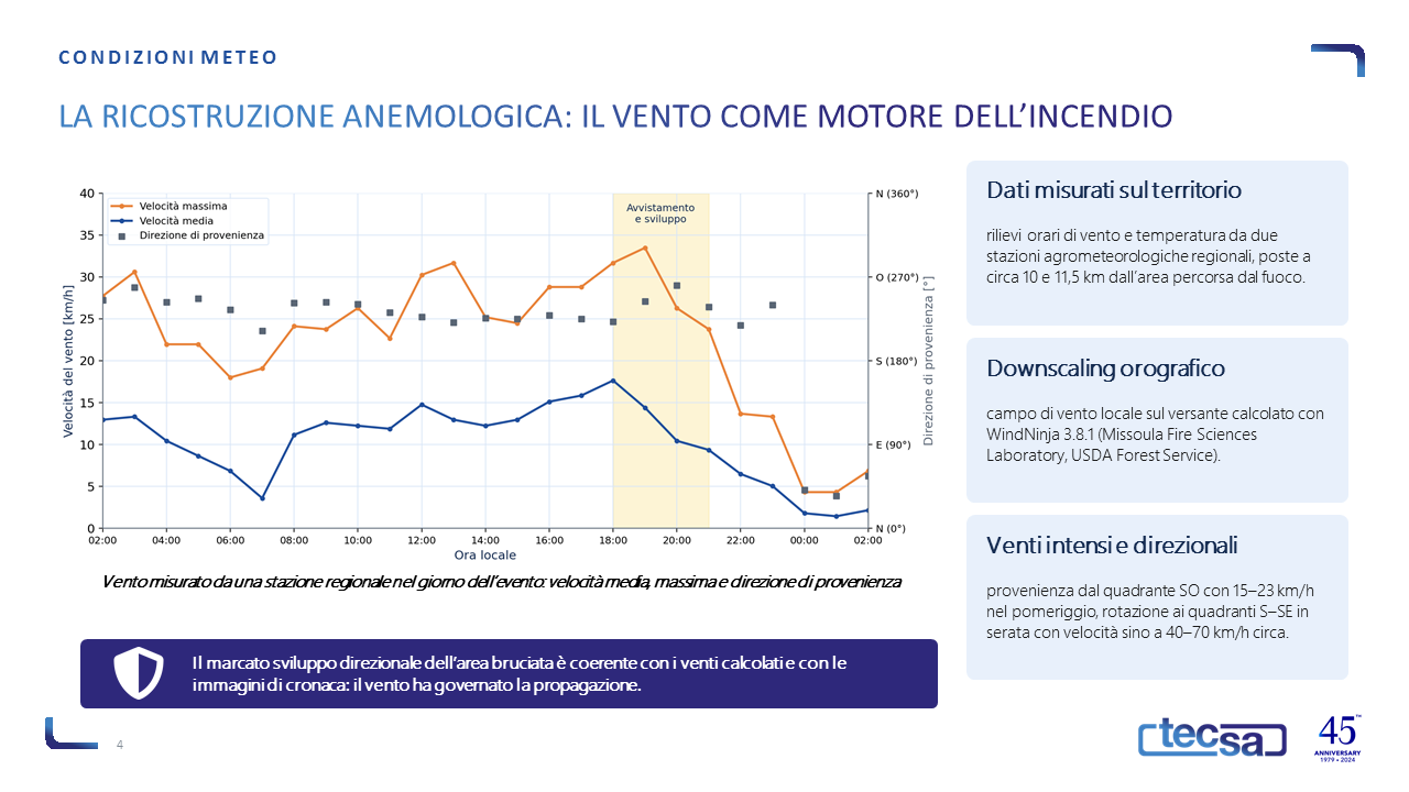
The investigation integrated four independent lines of evidence. The chronology of the event was reconstructed from reports by the operator and online news accounts; the perimeter affected by the fire was delineated using pre- and post-event Sentinel-2 multispectral imagery and quantified using the dNBR burn severity index (NIR band B8a, 865 nm, and SWIR band B12, 2190 nm, both at a resolution of 20 m), classified in accordance with the relevant scientific literature (Fassnacht et al. 2021; Barnadi et al. 2023). The local wind field on the slope was reconstructed from hourly data from two regional agrometeorological stations, with orographic downscaling using WindNinja 3.8.1 (Missoula Fire Sciences Laboratory, USDA Forest Service).
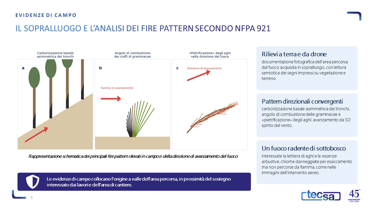
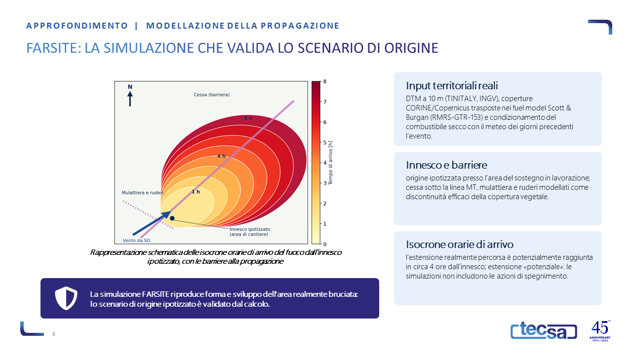
The field survey, involving photographic surveys from the ground and by drone, enabled a semiotic analysis of the fire patterns in accordance with NFPA 921 and NWCG PMS 412. Finally, the ignition scenario was validated using computational modelling of fire spread with FARSITE/FlamMap 6 (USDA Forest Service), based on the 10-metre TINITALY digital terrain model (INGV), CORINE/Copernicus land cover data transposed into the Scott & Burgan fuel models (RMRS-GTR-153), and GIS processing with QGIS.
The results
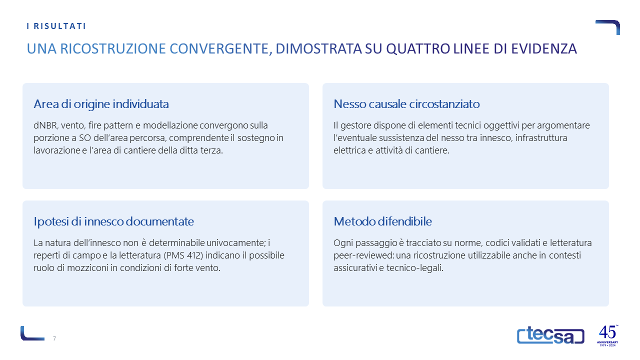
The four lines of evidence converge on a single reconstruction: the origin of the fire is most likely to be located in the south-western portion of the area affected, comprising the timber stand under processing and the worksite, with the direction of spread governed by strong south-westerly winds (15–23 km/h in the afternoon, up to 40–70 km/h in the evening). FARSITE simulations show that the actual extent of the fire’s spread could have been reached in approximately 4 hours from the point of ignition. The nature of the ignition source cannot be determined with certainty, but field evidence and the technical literature (PMS 412) document the most plausible hypotheses: the operator thus has objective and defensible technical evidence to argue any causal link in insurance and technical-legal proceedings.
Why TECSA
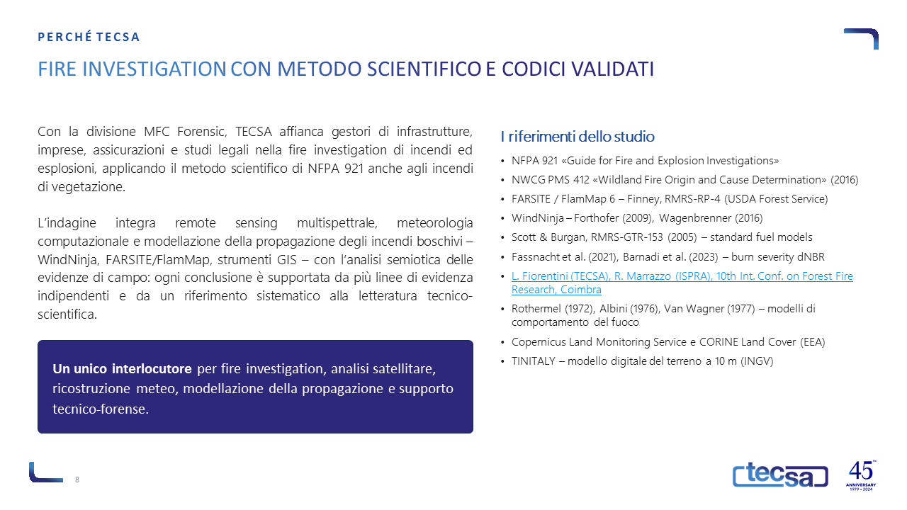
Through its MFC Forensic division, TECSA applies the scientific method of fire investigation to wildfires as well, integrating remote sensing, computational meteorology, fire spread modelling and the analysis of field evidence. TECSA’s expertise in fire safety relating to wildfires is also documented in the scientific article by L. Fiorentini (TECSA) and R. Marrazzo (ISPRA) presented at the 10th International Conference on Forest Fire Research in Coimbra (link).